Interactive maps 2026
UK & France Travel Atlas
An interactive, bilingual atlas for discovering places across the United Kingdom and France. Zoom into the map, follow your curiosity, and open a little guide to each destination.
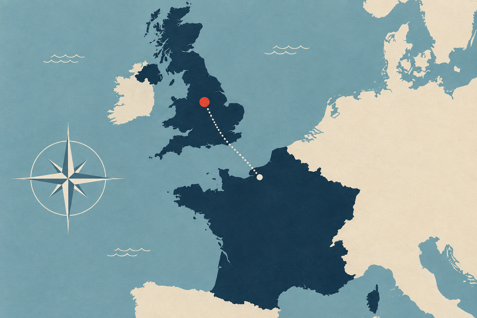
Why I made this
I love travelling, and I want to start by exploring the United Kingdom and France. I wanted a map that would let me see, at a glance, where cities and sights are in relation to one another. Having that picture in mind helps me think about how much time to allow for a trip and get a first impression of what might be worth visiting.
I also wanted to bring back a little of the feeling of leafing through an encyclopaedia as a child: coming across somewhere unfamiliar, getting curious, and turning another page just to see what I might discover. This atlas is my way of doing that with a map, before setting out to see the places for myself.
What you can explore
- A map that reveals more as you zoom. Major destinations anchor the overview, while additional places and labels appear as you move closer. Rivers, terrain and regional boundaries give each place context.
- A guide attached to every destination. Hover to preview a place, or click to pin its guide. Discover local attractions, highlight the surrounding region and follow links to nearby places.
- Three ways to read. Switch between English, Chinese and a bilingual view. The guides also adapt to smaller screens with an expandable panel and full-width attraction photos.
- Photography when you need it. Cover and attraction images load on demand from Wikimedia Commons, with links to the source, author and available licence information.
How I built it
This is an experiment in AI-assisted creative coding. I shaped the map concept and interaction goals, then iterated on zoom behaviour, label spacing, regional highlights, bilingual content and the mobile experience with AI-assisted implementation.
The atlas runs as a single static page using HTML, CSS and JavaScript, with D3.js and TopoJSON for its maps. Geographic data comes from Natural Earth, and photography comes from Wikimedia Commons. It can be hosted on GitHub Pages without a build step.
Try it
Start with a country, zoom into a region, and select a destination to open its guide. You can also use the keyboard to focus and explore place markers.